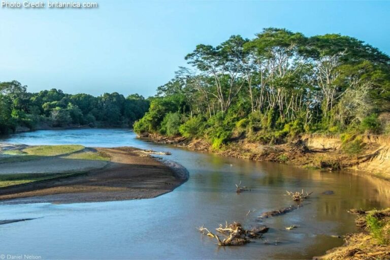

The LVN Basin has an area of 18 500 km2 and is located at the western part of the country, with Mount Elgon to the north, Uganda bordering to the west and Lake Victoria to the south-west. The major towns in the Basin are Eldoret, Kakamega, Kitale, Bungoma, Webuye, Kapenguria, Busia, Siaya, Mbale and Kapsabet. The topography of the LVN Basin varies from 4 320 masl at Mount Elgon to 1 130 masl at Lake Victoria. The Nzoia River is the largest river in the basin and drains 70% of the basin, followed by the Yala River which drains 18% of the basin. Both rivers drain into Lake Victoria.
The Sio River flows across the Ugandan border before draining into Lake Victoria. The Nzoia River is a permanent river with seasonal variability and high flows during the two rainy seasons, which frequently cause the river to burst its banks and cause flooding of the lower plains.
The LVN Basin faces the north-eastern side of Lake Victoria, which is the largest freshwater lake in Africa. The Lake is a shared water resource between Kenya, Tanzania, and Uganda.
The major wetland areas in the LVN Basin are Kingwal, Yala, Sergoit, Saiwa and Sio-Siteko. Surface water quality is degraded due to effluent discharges from major towns and urban areas, factories in Eldoret as well as due to irrigation return flows in some areas.
The total population of the LVN Basin is almost 8.55 million, which is equivalent to a population density of 462 persons/km2. This is the highest population density of all six river basins in the country. Most of the population in the LVN Basin lives in rural settlements, with only 20% of the population located in urban areas.
Land use in the LVN Basin is dominated by agricultural use, with small urban and industrial areas. However, many areas are characterized by unsustainable land use.